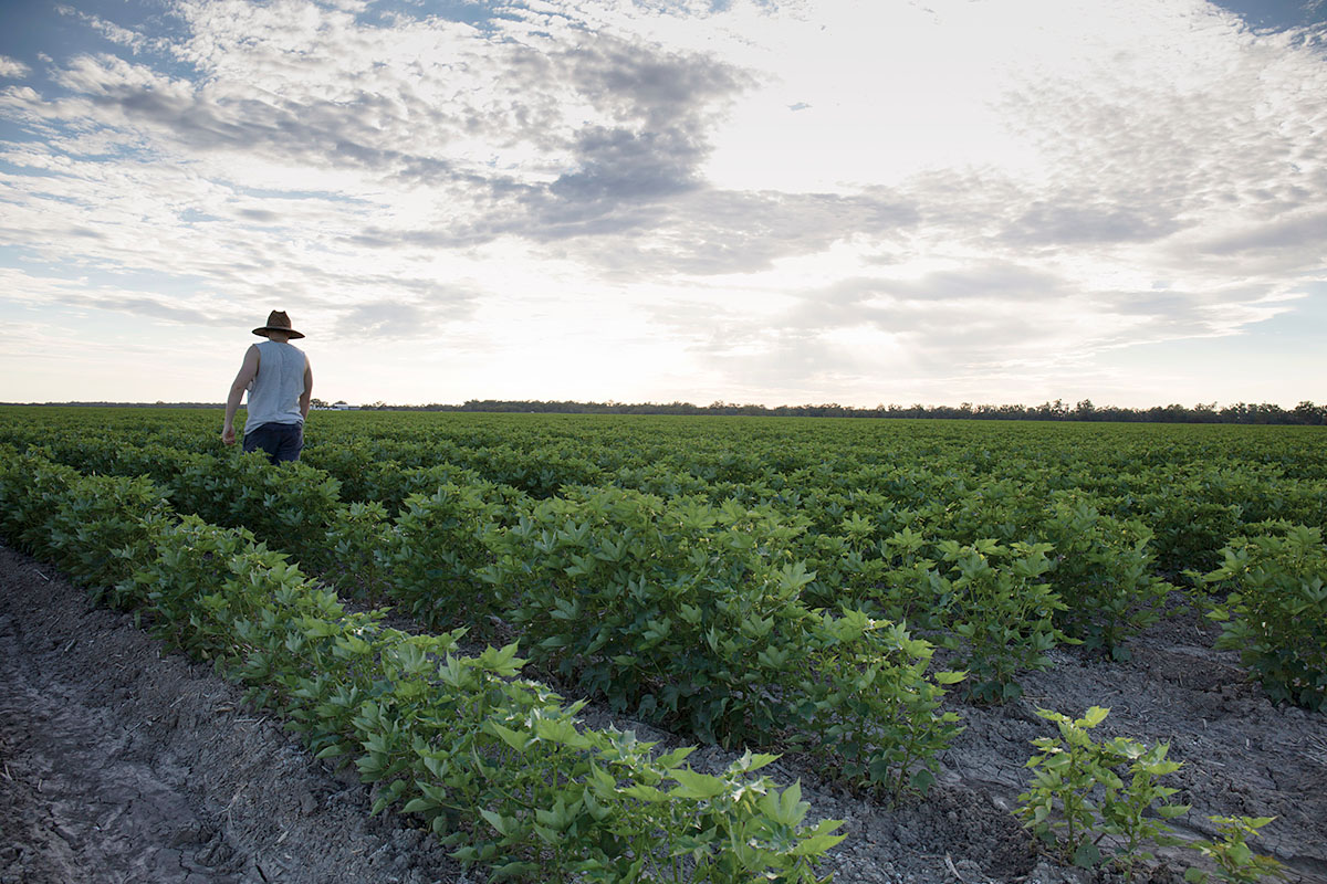
The Far West Regional Plan is a 20-year strategic blueprint for the future of the region. The NSW Government’s vision for the Far West is to create communities that can adapt to change, supported by a diverse economy, the right infrastructure and an exceptional natural environment.
The Far West region includes the following local government areas:
- Balranald Shire
- Bourke Shire
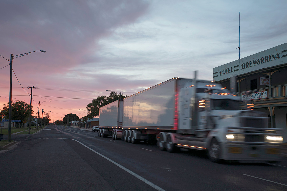
- Brewarrina Shire
- Central Darling Shire
- City of Broken Hill
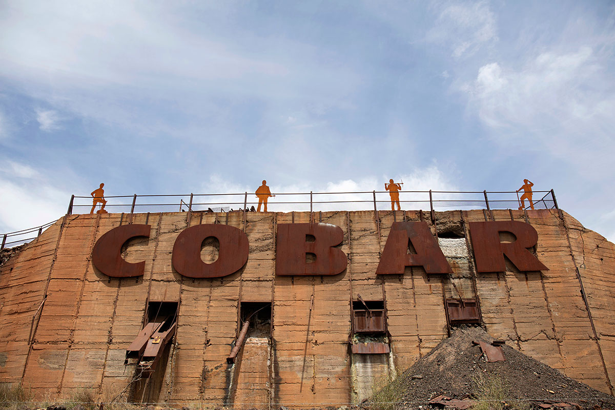
- Cobar Shire
- Walgett Shire
- Wentworth Shire and the Unincorporated Area.
Draft Far West Regional Plan 2041
We are doing the first 5-year review of the original plan to extend it to 2041 and reset its priorities. We have consulted councils, peak bodies, NSW Government agencies and other stakeholders to prepare a draft, updated Far West Regional Plan 2041.
The draft, updated Far West Regional Plan 2041 was on public exhibition from 6 October to 21 November 2022. The department is now closely considering how the submissions and feedback will be incorporated into the final plan.
Visit the NSW Planning Portal to learn more about the plan or download a copy.
We share responsibility for delivering the plan with our regional stakeholders.
Visit the NSW Planning Portal Far West page to learn more about the plan, download a copy, join a community information session or make a submission.
Read our plan for the largest region in NSW.