Planning for major infrastructure corridors

- Advertising and signage
- Alpine resorts
- Building systems circulars
-
- Apartment Design Guide
- Better apartments
-
- Boarding houses and co‑living housing
- Build-to-rent housing
- Caravan parks, manufactured home estates and moveable dwellings
- Group homes
- In-fill affordable housing
- Retention of existing affordable housing
- Secondary dwellings
- Seniors housing
- Social and affordable housing
- Supportive accommodation and temporary housing
- Housing Support Program
-
- Bayside Council’s housing snapshot
- Frequently asked questions
- Blacktown Council’s housing snapshot
- Blue Mountains Council’s housing snapshot
- Burwood Council’s housing snapshot
- Camden Council’s housing snapshot
- Campbelltown Council’s housing snapshot
- Canada Bay Council’s housing snapshot
- Canterbury-Bankstown Council’s housing snapshot
- Central Coast Council’s housing snapshot
- Cessnock Council’s housing snapshot
- Cumberland Council’s housing snapshot
- Fairfield Council’s housing snapshot
- Georges River Council’s housing snapshot
- Hawkesbury Council’s housing snapshot
- Hornsby Council’s housing snapshot
- How we developed the targets
- Hunters Hill Council’s housing snapshot
- Inner West Council’s housing snapshot
- Kiama Council’s housing snapshot
- Ku-ring-gai Council’s housing snapshot
- Lake Macquarie Council’s housing snapshot
- Lane Cove Council’s housing snapshot
- Liverpool Council’s housing snapshot
- Maitland Council’s housing snapshot
- Mosman Council’s housing snapshot
- Newcastle Council’s housing snapshot
- North Sydney Council’s housing snapshot
- Northern Beaches Council’s housing snapshot
- Parramatta Council’s housing snapshot
- Penrith Council’s housing snapshot
- Port Stephens Council’s housing snapshot
- Randwick Council’s housing snapshot
- Ryde Council’s housing snapshot
- Shellharbour Council’s housing snapshot
- Shoalhaven Council’s housing snapshot
- Strathfield Council’s housing snapshot
- Sutherland Council’s housing snapshot
- Sydney Council’s housing snapshot
- The Hills Council’s housing snapshot
- Waverley Council’s housing snapshot
- Willoughby Council’s housing snapshot
- Wollondilly Council’s housing snapshot
- Wollongong Council’s housing snapshot
- Woollahra Council’s housing snapshot
- Inland Code
- Pre-sale Finance Guarantee
- Social housing
-
-
-
-
- Ten simple tips for more inclusive playspaces
- A sensory explosion
- Bowraville Children’s Playspace
- Civic Park Playspace, Warragamba
- Cook Reserve Playspace
- Livvi’s Place, Wagga Wagga
- Livvi’s Place, Warragamba
- Lot Stafford Playspace
- Masterplanned communities
- Melaleuca Village Lake Playspace
- Muston Park Playspace
- St Peters Fences Playspace
- Town Beach Playspace
- Tumbalong Park Playspace
- Waitara Park Playspace
- Wild Play Garden
- Everyone Can Play grant
- Our principles
-
- NSW regional outdoor survey
- Synthetic turf for sports fields
- The Greater Sydney Outdoors Study
-
-
- Concurrence and referral reforms
- Employment land strategies
- Employment lands
- Employment zones reform
- Engagement and concierge
- Estimated development cost
- NSW Public Spaces Legacy Program
- Planning Reform Action Plan
- Planning pathways for cemeteries
- Priority Assessment Program
- State significant development warehouses and data centres
Planning for major infrastructure corridors is an important process to enable the delivery of large infrastructure projects needed in the future. Major infrastructure corridor planning can involve a number of phases over many years.
A new planning guideline for major infrastructure corridors has been drafted to assist infrastructure agencies with the infrastructure corridor planning process. This includes:
- preparing the right information and detail for projects
- an outline of when certain project information is needed
- guidance on planning tools and the department’s approach to using these tools.
The guideline specifies the planning tools infrastructure agencies can use at each stage of the corridor planning process. It is not a set of rules, however provides a suggested pathway to planning for and protecting infrastructure corridors.
More detail on the planning process for corridors can be found in the Planning Guideline for Major Infrastructure Corridors (PDF, 1.2 MB).
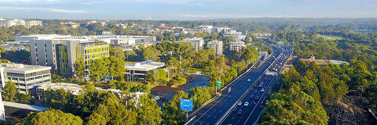
Corridor protection
The corridors of land set aside for future transport or other major infrastructure are protected in Chapter 4 of the State Environmental Planning Policy (Transport and Infrastructure) 2021, which is also known as the Transport and Infrastructure SEPP.
Interim use of corridors
We are amending the Transport and Infrastructure SEPP to permit the temporary use of corridor land.
The aim is to allow economic, urban design and public space initiatives on corridor land before infrastructure is delivered.
We exhibited an explanation of intended effects (EIE) from 22 August to 19 September 2022 and invited feedback. We are now considering your submissions.
Lower Hunter Freight Corridor
Transport for NSW has finalised the location of the Lower Hunter Freight Corridor between Fassifern and Hexham after consulting the community.
The NSW Government will reduce travel times and create a more reliable rail network for passengers and freight.
To support the finalised corridor, the Department of Planning and Environment has safeguarded the land from future development. The design and operation of the rail line will require separate approval.
Visit the Lower Hunter Freight Corridor page for more information.
Western Sydney rail and road corridors
In 2018, Transport for NSW proposed 5 corridors for future transport infrastructure. These will support the growing population of western Sydney. Transport for NSW exhibited a discussion paper and invited submissions.
Three corridors have now been finalised, one is being considered and one has been withdrawn.
Finalised
- South-west rail link extension
- Western Sydney freight line – stage one
- North-south rail line – being used by metro Western Sydney Airport (delivery).
Being considered
Outer Sydney orbital – stage one.
Withdrawn
The corridor for the Bells Line of Road–Castlereagh connection has been withdrawn.
For more information visit Transport for NSW – Corridor projects.