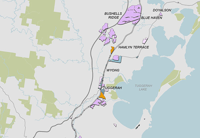
This map shows Zoned Employment Land Supply in the Central Coast Region. Industrial zoned land is largely located along the motorway and railway line. There are two large areas of industrial zoned land to the north, surrounding Bushell’s Ridge and Warnervale. Areas of employment land surrounding Wyong and Tuggerah are medium sized and a mixture of industrial and business zones. There is a small cluster of mostly business zoned land at Erina, and two large clusters west of Erina adjacent to the motorway and railway between Gosford and Somersby.