Nearly every aspect of life in the Hunter is linked by transport.
Major transport connections
NorthConnex and widening of the M1 Pacific Motorway will better connect the Hunter Region with Greater Sydney and the Western Parkland City.
Transport for NSW’s final Hunter Regional Transport Plan will support this regional plan.
From a land and transport planning perspective, the regional plan focuses on:
- traffic congestion
- the separation of home and work locations
- emissions and noise pollution
- vulnerability to climate change.
These issues originate, in part, from land development patterns and transport investment decisions focused on cars.
Reducing car dependence while maintaining easy access to destinations will benefit individual travellers and the region as a whole.
Read objective 4 (PDF, 48.4 MB) of the regional plan to learn more.
Download the Hunter Regional Plan 2041 (PDF, 48.5 MB).
Fast rail
A fast rail corridor from Sydney to Newcastle will influence the future prosperity of the Hunter Region. It could reduce travel times to give people more choice about where they live and work.
This could attract investment, create jobs and support key industries. Fast rail stations could renew centres and places along the corridor through development and investment.
Read objective 4 of the regional plan to learn more.
Freight
The Hunter is part of an integrated global logistics system. Businesses have direct motorway connections to ports at Newcastle and Botany Bay, and international airports at Newcastle, Sydney Kingsford Smith and, in the future, Western Sydney.
Efficient freight movements give the Hunter’s businesses and industries access to local markets and beyond. They particularly benefit the agricultural and extractive resource sectors mainly located west of the M1 Pacific Motorway.
Read objective 4 of the regional plan to learn more.
Social connections
The regional plan introduces the concept of the 15-minute neighbourhood. objective 3 (PDF, 48.4 MB), objective 4 (PDF, 48.4 MB) and objective 5 (PDF, 48.4 MB) draw on this concept.
This means more people will be able to access what they need for a fulfilling lifestyle closer to where they live.
It means a greater diversity of housing and capitalising on existing and emerging industries to power a sustainable Hunter.
The concept recognises that the general pattern of low density, separated land uses and car-prioritising infrastructure in the Hunter has consequences in terms of costs, equity and choice.
If we can reduce car dependency and vehicle ownership, we can reduce:
- household costs
- public health and infrastructure costs
- greenhouse gas emissions and air pollutants
- environmental impacts
- social inequity and health issues.
We know that in rural areas, people are unlikely to be able to access local needs on foot or bike. The regional plan aims for people to be able to access most needs within a 30-minute drive to a strategic centre.
This allows for reasonably easy travel across communities, potentially on foot, by bike or on public transport. It requires better public transport services between key destinations.
The idea of the 90-minute region connects the Eastern Harbour City, Central River City, Western Parkland City, Lower Hunter and Greater Newcastle City and the Illawarra-Shoalhaven City. Fast rail is essential to this vision.
Public transport, streets and places
Safe, reliable and frequent public transport makes it easier for people to get to the places and services they need to travel to.
More people will walk or ride if they can:
- access well designed streets, paths and public spaces separated from traffic
- use continuous footpaths on both sides of the road
- enjoy barrier-free access to public transport and services
- move easily between urbanised and more natural areas.
This includes school-aged children who could walk or cycle to school and other activities, such as sport and hobbies.
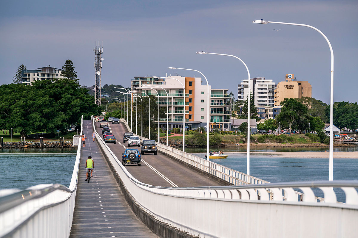
For decades, the Hunter’s streets have been designed for cars rather than people. Transforming streets for people will require a new urban design approach. It also requires a coordinated effort across governments, community and industry.
Read objective 3 (PDF, 48.4 MB) and objective 4 (PDF, 48.4 MB) of the regional plan to learn more.
The regional plan sets a vision for the Hunter’s Aboriginal community to enjoy equal access to local economic, employment and education opportunities.
It considers new pathways to promote economic self-determination and to more meaningfully recognise and respect Traditional Custodians. It aims to create true connections to Country and integrate Aboriginal cultural knowledge and practice into urban design and planning.
There are 9 Local Aboriginal Land Councils (LALCs) in the Hunter region: Awabakal, Bahtabah, Biraban, Mindaribba, Wormi, Forster, Karuah, Purfleet/Taree and Wanaruah. A further 6 LALCs have land in the region.
The regional plan helps LALCs to pursue development and conservation aspirations.
Read objective 2 (PDF, 48.4 MB) to find out more.