Sustainable development
The regional plan uses a new approach to how we sequence planning for new land uses and infrastructure. This approach means that proposals that support the vision for the region and bring even greater public value will be subject to a streamlined assessment process.
The regional plan also introduces net zero emissions as a guiding principle for all planning decisions.
Further, the regional plan embeds resilience in planning and design decisions to improve responses to chronic stresses and acute shocks.
Download the Central Coast Regional Plan 2041 (PDF, 11.5 MB).
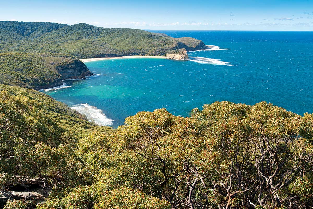
Building climate resilience
In offering connections to lovely waterways and bushland, the Central Coast is also a place where people and buildings could be at risk of climate-related impacts such as sea level rise or bush fires.
Climate change has been felt directly during the widespread bushfires of 2019–20, flooding of 2021–22 and increased coastal erosion.
The Central Coast is expected to experience an increase in its average, maximum and minimum temperatures for the near future (2030) and far future (2070). Rainfall on the Central Coast is expected to increase in Autumn and Summer and decrease in Spring and Winter.
These changes in climate are likely to increase the risk from natural hazards including coastal processes, storms and floods, bushfires, heatwaves and drought.
Natural hazards can disrupt road and rail networks and interrupt access to essential services including water, sewerage, power, telecommunications and digital connectivity.
The Hunter and Central Coast Regional Adaptation project identifies how climate change may affect local communities and identifies responses. Council is already building this work into its strategic planning and other processes.
Other objectives in this regional plan ensure Central Coast achieves:
- economic resilience, objective 1 (PDF, 11.5 MB)
- social resilience, objective 3 (PDF, 11.5 MB) and objective 4 (PDF, 11.5 MB)
- environmental resilience, objective 6 (PDF, 11.5 MB)
Natural hazards
The most recent sea level rise projections are from the Intergovernmental Panel on Climate Change (IPCC) predict an increase on the central NSW coast of:
- between 0.21m and 1.06m by 2100
- between 0.28m and 1.95m by 2150.
Exposure to sea level rise and inundation risks is highest around tidal lakes and close to areas adjoining Tuggerah Lakes and Brisbane Water; and around the coastal lagoons including from Cockrone to Wamberal.
Much of this development is only marginally above current high tide levels and is highly vulnerable to sea level rise.
The Central Coast is already subject to coastal hazards including erosion, shoreline recession and cliff or slope instability risks.
Areas at The Entrance North, Hargreaves Beach, Norah Head, Wamberal Beach and Terrigal Beach are at high immediate risk from coastal hazards. Houses, infrastructure and community facilities threatened.
Land use planning informed by coastal management programs, will consider coastal hazards to avoid or acceptably mitigate risks for future development.
Areas within the Tuggerah district are particularly vulnerable to flooding and future development must not exacerbate risk to residents or flood impacts.
The Central Coast is at high risk of bushfire. Increases in fuel load, fuel dryness, fire weather and lightning strikes are together likely to result in more frequent bushfires.
There are many semi-rural settlements with a direct interface with dense bushland, particularly within the Narara district. While these areas offer lifestyle benefits and access to nature, the increased bushfire threat must be carefully considered in future land use planning.