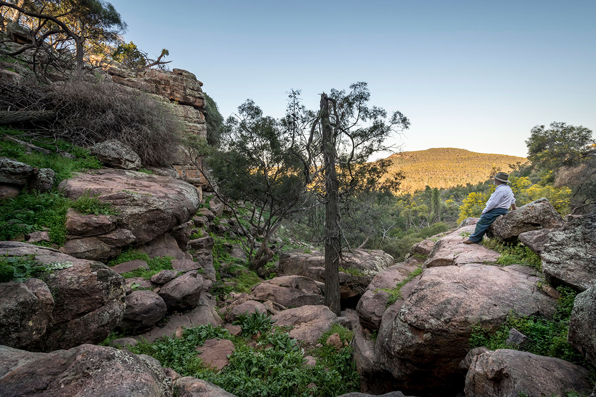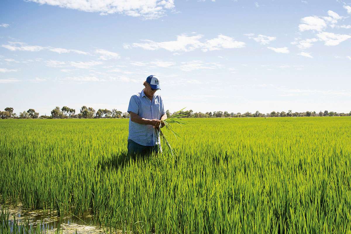
The Riverina Murray region sits entirely within the Murray Darling Basin. Located along the Victorian border, the region is known as Australia’s food bowl. It contains vast waterways and river systems and is one of the country’s most productive agricultural regions.
Aboriginal people have cared for the lands and water of the Riverina Murray region for more than 60,000 years. The Barapa Barapa, Nari Nari, Ngarigu, Ngunawal, Wolgalu, Wemba, Wiradjuri, Yita and Yorta countries make up the Riverina Murray region.
The region includes the local government areas (LGAs) of Albury, Berrigan, Bland, Carrathool, Coolamon, Cootamundra-Gundagai, Edward River, Federation, Greater Hume, Griffith, Hay, Junee, Leeton, Lockhart, Murray River, Murrumbidgee, Narrandera, Snowy Valleys, Temora and Wagga Wagga.
It is a place where communities, transport networks and economic connections interact outside NSW, to both Victoria and the ACT, and to neighbouring regions. Businesses can utilise direct freight access to the Port of Melbourne, Port Kembla and Port Botany.
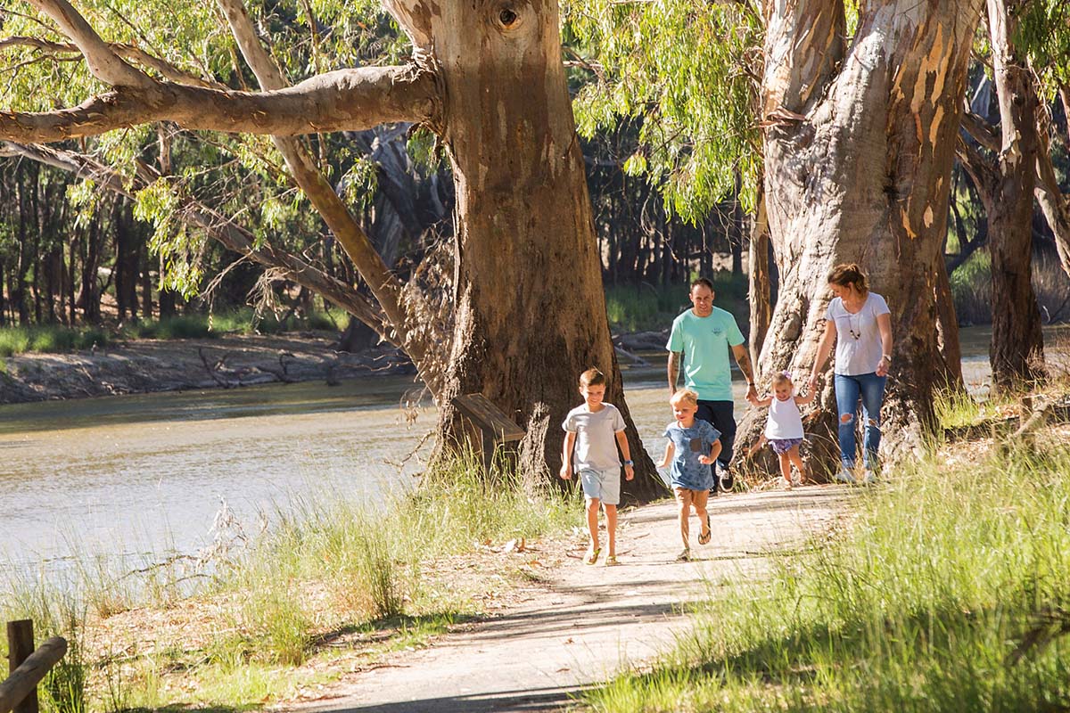
Three regional cities – Wagga Wagga, Albury and Griffith – are home to more than half the region’s population of 283,300 people. The areas surrounding regional cities provide the agricultural and industrial base for many regional economies, and as well as supporting alternative lifestyle opportunities, tourism and access to recreation.
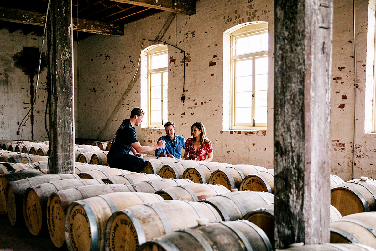
Planning for the Riverina Murray is focused on its unique environment, which is strongly influenced by its vast waterways, its growing regional cities and riverfront communities and the diversification of the region’s economy. The region is well placed to contribute to a net zero state.
Download the Riverina Murray Regional Plan 2041 (PDF, 14.1 MB).