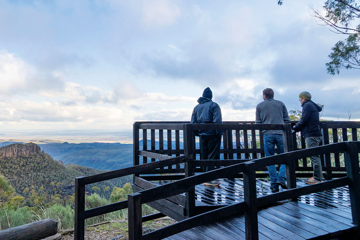
The New England North West Region is on the land of the Anaiwan, Banbai, Bundjalung, Githabul, Gumbaynggirr, Kamilaroi, Kwaimbul, Ngoorabel and Dunghutti people. Its landscapes range from the tablelands of the Great Dividing Range in the east to the rich black soil plains in the west.
It comprises the Armidale, Glen Innes Severn, Gunnedah, Gwydir, Inverell, Liverpool Plains, Moree, Narrabri, Tamworth, Tenterfield, Uralla and Walcha LGAs.
The region was home to around 186,000 people in 2021, this will grow to more than 197,500 people by 2041.
Tamworth and Armidale are the region’s busiest centres. Other centres like Glen Innes, Gunnedah, Inverell, Moree and Narrabri are also major hubs for social and economic activity.
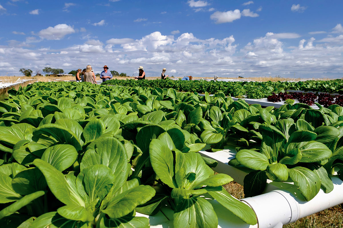
The region offers a diversity of agricultural industries. For example, areas like Moree, Narrabri and the Liverpool Plains feature cotton and grain farms. Further east, we see extensive cattle and sheep farms on the more temperate tablelands around Walcha, Armidale and Glen Innes.
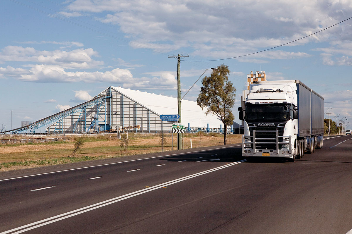
New economic opportunities are emerging, with a special activation precinct at Moree and the Northern NSW Inland Port at Narrabri. The New England Renewable Energy Zone (REZ) will be a key initiative, as will the Namoi Regional Jobs Precinct.
Download the New England North West Regional Plan 2041 (PDF, 19.9 MB).