The Central Coast Region includes the Central Coast Local Government Area (LGA).
Its southernmost point is 90 km north of Sydney CBD and its northernmost point 80 km south of Newcastle CBD. The Central Coast region is home to the Darkinyung people. The traditional lands of the Darkinyung extend from Awaba (the traditional name for Lake Macquarie) in the north, to Deerubbin (the traditional name for the Hawkesbury River) in the south, west to the Watagan Mountains and east to the Pacific Ocean.
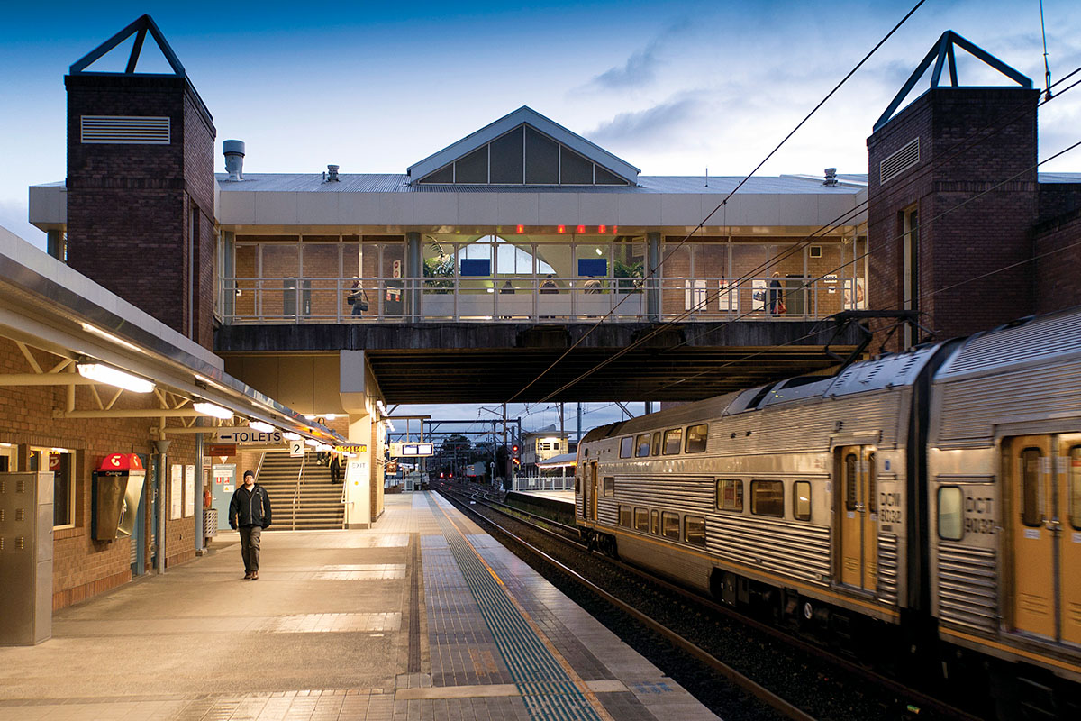
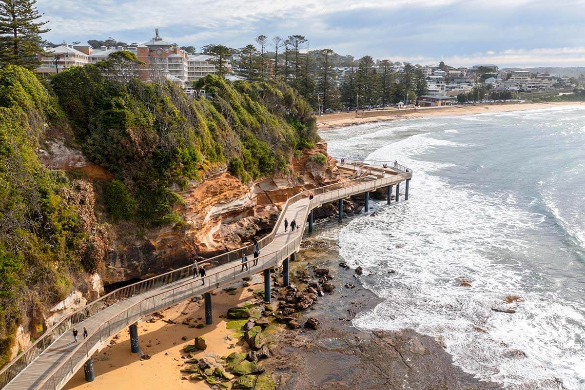
Traversed by the M1 motorway, the region features the regional capital of Gosford and regional city of Tuggerah. Popular coastal towns like Terrigal and The Entrance to the east of the motorway contrast to the hinterland settlements such as Somersby and Yarramalong.
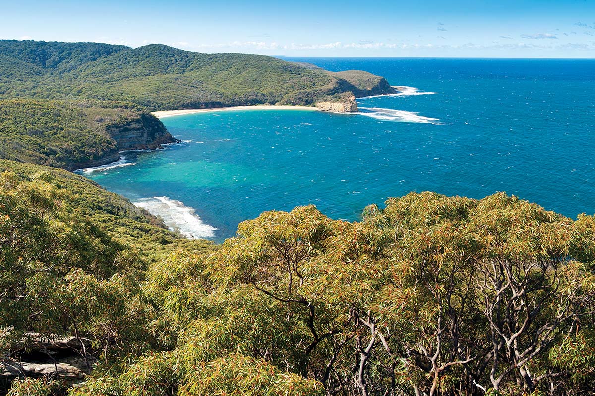
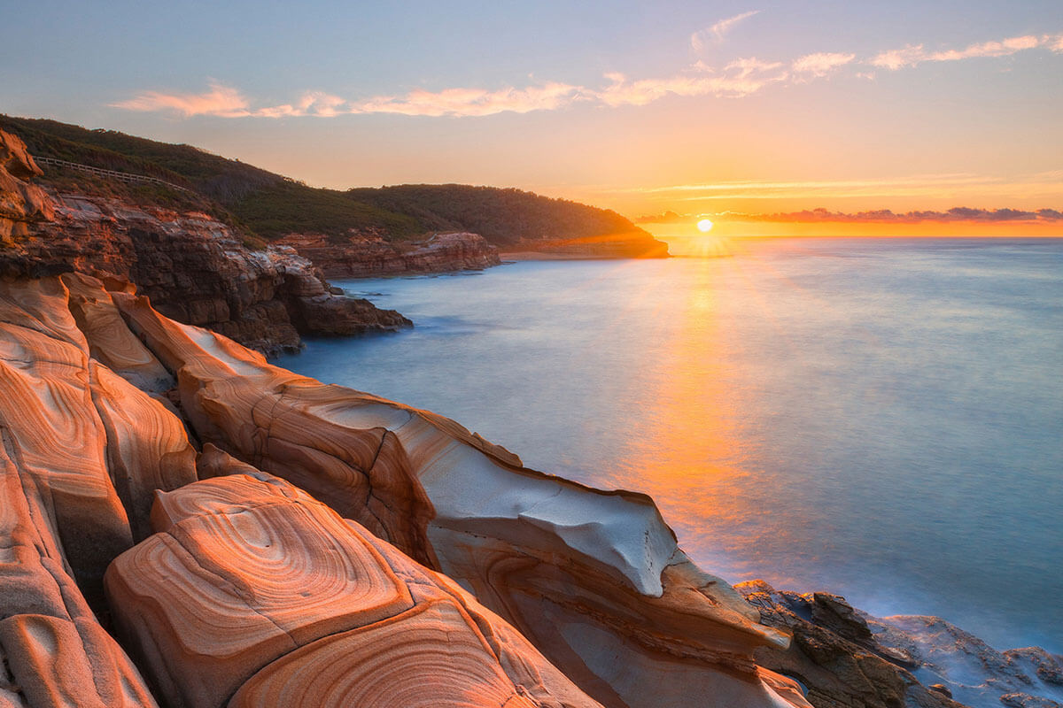
There’s an abundance of natural areas, including the Dharug National Park and Olney State Forest. From the mountains in the west to the ocean foreshore in the east, people enjoy connections to the bushlands, waterways and valleys.
Coasties want to retain what they love about their region – this is a laid-back, friendly region that offers a relaxed lifestyle within easy access of major economic and social opportunities within the Six Cities Region, which includes the Lower Hunter and Greater Newcastle City, Illawarra-Shoalhaven City, Western Parkland City, Central River City and Eastern Harbour City.
The region was home to around 347,500 people in 2021 and is expected to grow to more than 404,250 people by 2041.
The Central Coast Regional Plan 2041 aims to facilitate this growth in a sustainable way by adapting to future challenges posed by changes in climate, housing markets and the economy.
Download the Central Coast Regional Plan 2041 (PDF, 11.5 MB).