The Riverina Murray’s diverse environment is shaped around its waterways, many of which are protected for their biodiversity values and for residents and visitors to enjoy.
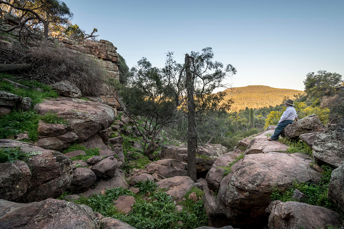
The region’s many national parks and landscapes range from the sub-alpine Snowy Mountains to drier western plains and the valleys along the Murray and Murrumbidgee rivers.
Biodiversity and waterways
The region’s waterways influence how and where people live and the patterns of agricultural industries, which need irrigation and access to water.
It is home to some of Australia’s longest rivers – including the Lachlan, Murray and Murrumbidgee – and vast floodplains. Several wetland areas are listed under the Ramsar convention.
The regional plan calls for stronger guidance for both councils and communities to manage development near waterways and waterfronts.
This includes how new development interacts with waterfront areas while also ensuring riverfront land is preserved for open public space, such as for walking and cycling networks.
The plan promotes early identification of biodiversity values in the planning and development process – in growing areas of regional cities, along the Murray River and in smaller towns and villages – to help protect biodiversity while also saving time and costs later in the development process.
Read objective 1 (PDF, 14.1 MB) and objective 2 (PDF, 14.1 MB) of the regional plan to learn more.
Climate change and natural hazards
In recent years, the region’s communities, industries and infrastructure have been impacted by varying climate conditions.
This ranges from the 2019-20 bushfires, which burnt around 5,000 km2; severe droughts from mid-2017 to 2020; and significant flooding in late 2022.
However, the region faces growth pressures, which can increase demand for development on land near floodplains or that could be subject to bushfire hazards.
Development will need to both balance community needs, including the desire to live near or among environmental areas, with the need to conserve sensitive environments, enhance ecological functions and be ready for future natural hazards.
As the climate changes, the interface between development areas and the natural environmental must be managed, to reduce the risks of exposing people, property and infrastructure to natural hazards..
The region’s councils are already building in activities such as mapping flood and bushfire-prone land or establishing climate-change adaptation plans.
Natural hazards and risk management
A risk-management approach acknowledges that a natural process could become a natural hazard when 3 elements interact:
- there is a presence or probability of a natural hazard
- people and/or property are exposed to the hazard
- the characteristics of a community make it vulnerable to the damaging effects of the hazard.
We can aim to reduce the impacts from one or more of the 3 components, while not allowing an increase in the other components. Doing this early in the planning process can reduce vulnerability to natural hazards. This involves adapting to or mitigating risks in existing urban areas and avoiding and mitigating risks for new development.
Read objective 3 (PDF, 14.1 MB) of the regional plan to learn more.