Increases in heat can have significant environmental, social and economic impacts. The effects can place strain on our communities and our infrastructure.
As temperatures rise due to climate change, we will experience longer and more frequent heatwaves, as well as an increase in average temperatures.
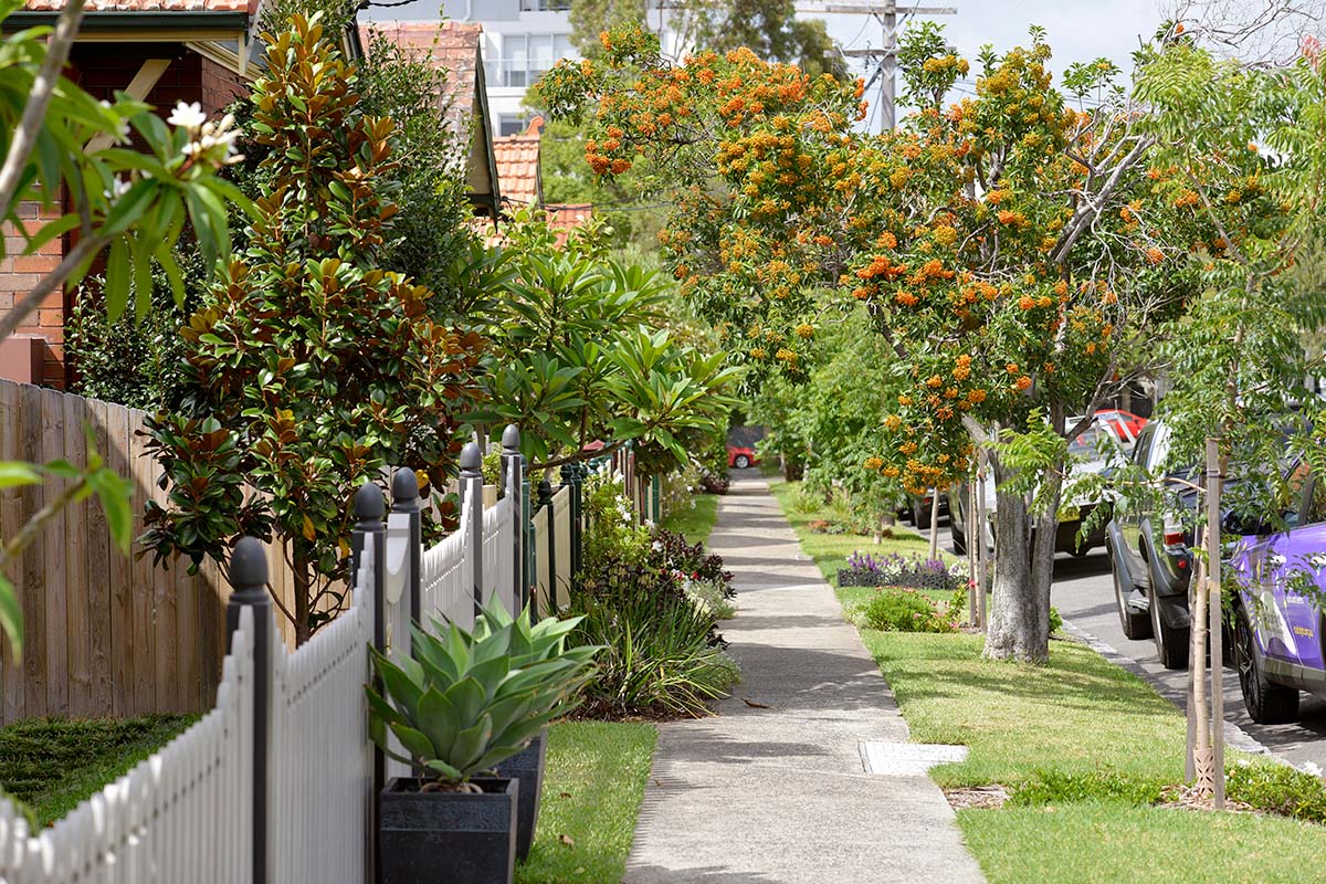
Some features of our urban landscape, such as the dark surfaces on roads and roofs, contribute to rising temperatures by creating urban heat islands. This can have negative effects on communities’ wellbeing, creating hotter homes and streetscapes.
The NSW Government has launched the Cooler Places resource to reduce urban heat and build more resilient communities.
Cooler Places is an online resource to help town planners, developers, councils and community create cooler, more resilient places to live. It provides clear guidance on the building blocks for effective place-based planning and design.
To create a more sustainable, liveable and cooler urban environment, we need to improve urban greening. Read the NSW Government’s initiatives helping to address urban heat, grow greener neighbourhoods and improve the overall urban environment.
About heat in our environment

Urban heat
Urban heat is increased temperatures experienced in built-up or highly urbanised areas. Urban heat can harm the health and wellbeing of people and communities.

Extreme heat day
An extreme heat day is when temperatures reach or exceed 35°C.

Urban heat island effect
The urban heat island effect is localised warming due to large amounts of dark, paved surfaces like roads, roofs and car parks. The sun’s heat is absorbed, not reflected, and causes the surface and ambient temperatures to rise.

Heatwave
A natural hazard that occurs when maximum and minimum temperatures are unusually hot for at least 3 days, compared to the area’s regular conditions. The temperatures for heatwaves vary across NSW and depend on the time of year, recent weather and local climate.
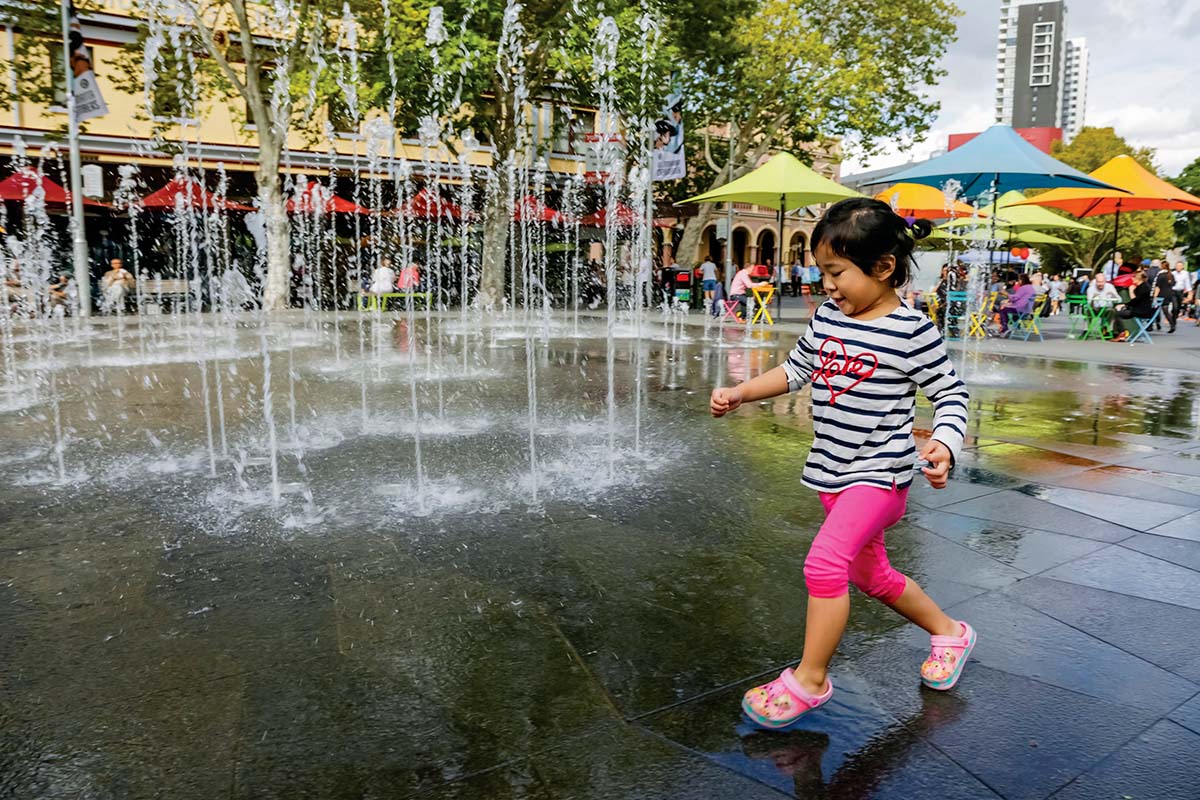
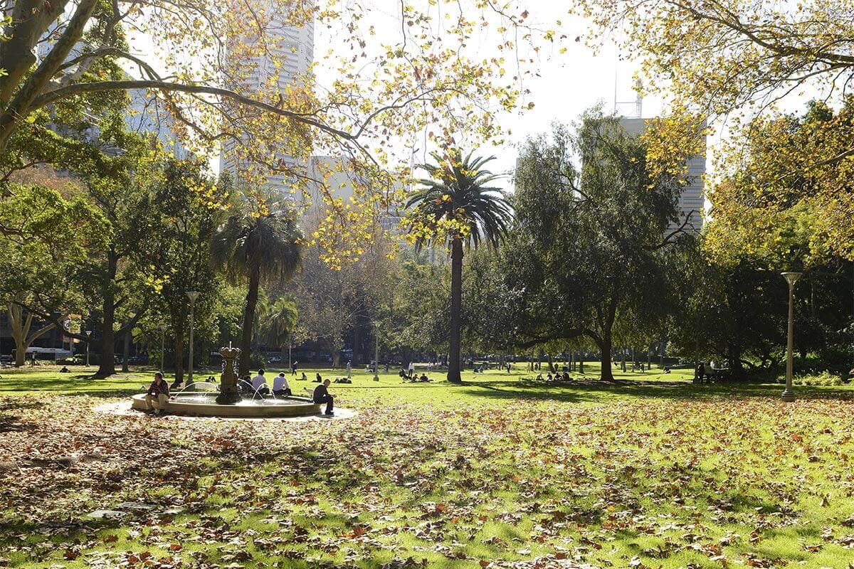
The impacts of heat in urban areas
The majority of people in NSW live in built-up urban centres, which often have large amounts of dark, hard surfaces that absorb heat. They may lack elements like greenery, water bodies and reflective surfaces that help mitigate heat.
This creates 'urban heat islands' that can make some urban and suburban places 1 to 3oC hotter than surrounding natural areas. Urban heat can pose a risk to human health, infrastructure and the amenity of an area. Urban heat islands can compound the effects of climate change, making higher temperatures and heatwaves more severe and difficult to manage.
Planning how we design and develop our cities, towns and suburbs is critical to reducing vulnerability to urban heat. It helps places become more sustainable and resilient to a changing environment.
A combination of rapid urbanisation and geography means that western Sydney experiences an average of 15.4 days over 35°C annually and registers temperatures 6 to 10°C higher than eastern Sydney during extreme heat events. By 2050, the region could experience approximately 24 extreme heat days annually and 4 days over 40°C.
We are already seeing these extremes today. In recent years, the vibrant western Sydney hub of Penrith has been the hottest place on earth twice – on 7 January 2018 (47.3°C) and 4 January 2020 (48.9°C).
In 2017, Richmond registered 39 extreme heat days, which was 6 days more than its 2050 projected average. Richmond currently experiences as many days over 35°C annually as eastern Sydney is projected to face by 2070. See the national Heatwatch initiative for more information.
With the establishment of the Western Parkland City and the Bradfield Aerotropolis, we are taking action now to mitigate heat as we design and build for growth in the area.
The NSW Reconstruction Authority developed the State Disaster Mitigation Plan to ensure NSW communities are more resilient to natural hazards and climate change. The plan outlines how the NSW Government will plan for and respond to the impacts of natural hazards.
The NSW Climate Change Adaptation Action Plan 2025-2029, the first state-wide adaptation action plan for NSW to help us achieve greater climate change resilience. It focuses on known climate change impacts and risks and helps make adaptation part of everyday decision making.
Both plans are for the whole of NSW and highlight how heatwaves place significant stress on the social, economic, environmental and physical infrastructure of our state. They also identify that heatwaves are becoming more frequent and sustained because of climate change.
Learn more about the NSW State Disaster Mitigation Plan and the NSW Climate Change Adaptation Action Plan 2025-2029.
The Greater Sydney Heat Taskforce, a cross-sector collaboration involving government, industry and community partners, developed the Heat Smart City Plan.
Co-designed by organisations including health, planning and design, infrastructure, emergency management, community and corporate sectors, the Plan presents 6 key directions and 40 recommendations to create a heat resilient city.
We need high quality data to make good decisions about addressing urban heat and set appropriate priorities.
New and more sophisticated analytical tools are becoming available. The department has invested in these technologies by acquiring new canopy and urban heat data for Greater Sydney.
In 2023, we published the Greater Sydney Region Tree Canopy 2022, drawing on techniques that apply artificial intelligence to high-quality aerial imagery. This data will help councils and government agencies to reliably develop urban greening and heat island mitigation strategies and actions.
The NSW Government commissioned the Royal Melbourne Institute of Technology to create a new Heat Vulnerability Index (HVI) for Greater Sydney which provides an understanding of the distribution of heat vulnerable communities and underlying reasons causing heat vulnerability.
If you want to learn more about the type of data we collect for the Greater Sydney area, visit Urban heat and canopy data.