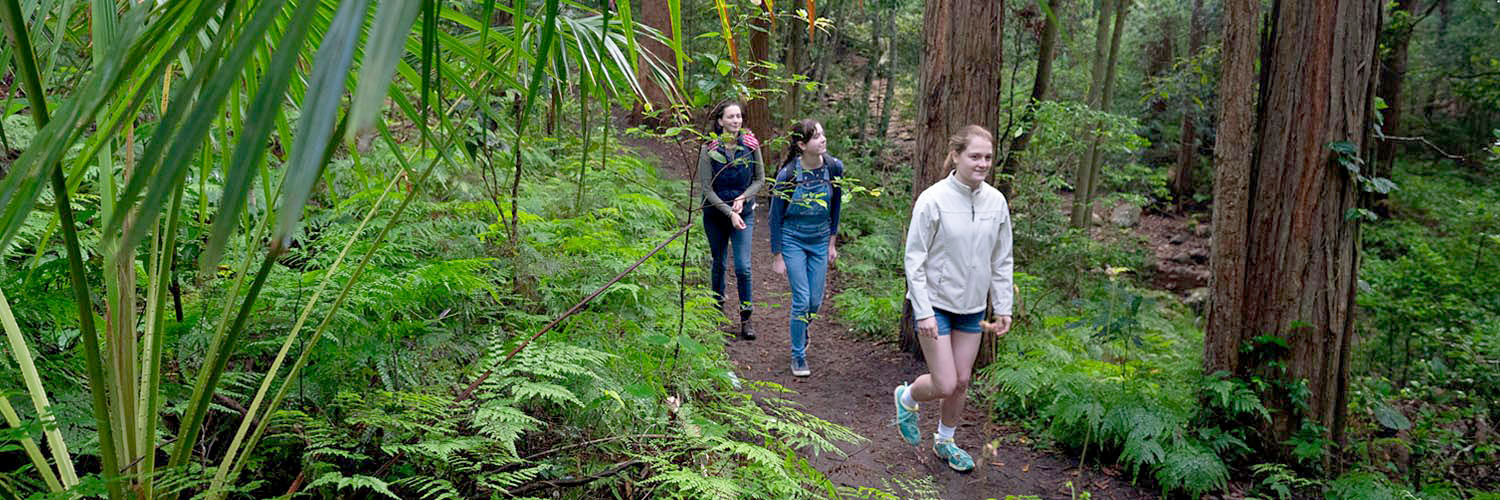
The Illawarra Shoalhaven’s regionally significant landscapes and natural assets create an enviable lifestyle for residents and visitors.
Beaches, parks, gardens and sports fields, leafy streets, libraries, museums and galleries, are all key to public life. The safety and wellbeing of people and the coastal and rural lifestyles on offer are maximised by integrating land use planning with planning for natural and urban hazards, resilience, open space and waterway health.
There is a growing risk of climate-related impacts on the region’s people, cultural, natural and economic systems and the built environment. All levels of government, the community, businesses and industry must work together to build resilience to climate change and identify workable adaptation and mitigation measures.
The Shoalhaven Illawarra Enabling Regional Adaptation project identifies how climate change may affect local communities and identifies responses. Councils are already building this work into their strategic planning and other processes and the NSW Government will continue to work with councils on opportunities to further build pathways to build resilience, reduce vulnerabilities, and support initiatives that can transform the region.
The NSW Government has invested more than $45 million to assist the Shoalhaven community and businesses to recover following devastating bushfires over the 2019-20 summer. Resilience NSW has been established to drive world-leading disaster preparedness and recovery for the NSW community.
The Illawarra Shoalhaven will be a leading region in sustainability. Collaborative approaches can assist reduce emissions, support clean air, promote a circular economy and low emissions transport. This can position the region as a hub for clean energy that uses water resources efficiently with an increased urban tree canopy cover.
National parks and the Sydney Drinking Water Catchment are significant landscapes:
- 43% of the region (250,000 ha) has high environmental value or forms part of a biodiversity corridor.
- The region is home to an estimated 1,800 native plant species, including over 60 threatened plant species.
Surveys have identified:
- over 100 threatened animal species
- 19,120 ha of wetlands
- 26 endangered ecological communities.
For further details, read the Illawarra Shoalhaven Regional Plan 2041 (PDF, 13.3 MB)
Criteria for mapping high environmental value lands
Lands mapped as high environmental value are identified in the Environmental Values map and include:
- sensitive biodiversity
- native vegetation of high conservation value, including vegetation types that have been over-cleared or occur within over-cleared landscapes and threatened ecological communities
- key habitat of threatened species
- important wetlands, coastal lakes and estuaries
- areas of geological significance.
High environmental value data is available through the SEED Portal. SEED is the NSW Government's central resource for Sharing and Enabling Environmental Data.
Map – Environmental Values
View the environmental values map (PDF, 503 KB) for Illawarra Shoalhaven.
Objectives
The following outlines the objectives under theme 2 - A sustainable and resilient region theme:
The region’s environmental values are mapped as High Environmental Value land and include a network of biodiversity corridors. Important biodiversity corridors cross the region with the north-south corridors the most notable, however, a number of east-west corridors exist as well.
The NSW Government supports building more resilient places and communities across NSW. To build resilient places and communities, shocks and stresses should be considered holistically, including from a people centred, cultural, economic, built form and environmental perspective.
The urban tree canopy includes trees along streets, in parks and other public spaces, and on privately owned land including front and backyards. Planning for more trees in urban areas encourages people to walk and cycle, improves the comfort and attractiveness of the network, diminishes traffic noise, screens unwanted views and can have positive economic impacts.
Public spaces include parks, green spaces, plazas, libraries and museums. The NSW Premier set a priority to increase the proportion of homes in urban areas within a 10-minute walk of public space by 10% by 2023. These connections with public space are especially important in growing areas like Metro Wollongong, Shellharbour City Centre and Nowra City Centre.
The NSW Government is committed to achieving net zero emissions by 2050 and has released Net Zero Plan Stage 1: 2020-2030 which sets out how it will meet the first stage of this objective over the next decade.
The NSW Government supports a transition to a circular economy which brings opportunities for new industries and employment. The region can benefit economically, socially and environmentally from waste resources by reusing, repairing, sharing and recycling waste.
The region’s water supply is sourced primarily from Avon Dam and Tallowa Dam. Maintaining and improving water quality and supply is always a priority and water quality is primarily managed by restricting access to water catchment areas, with about 20% of the region within the Sydney Drinking Water Catchment Area.