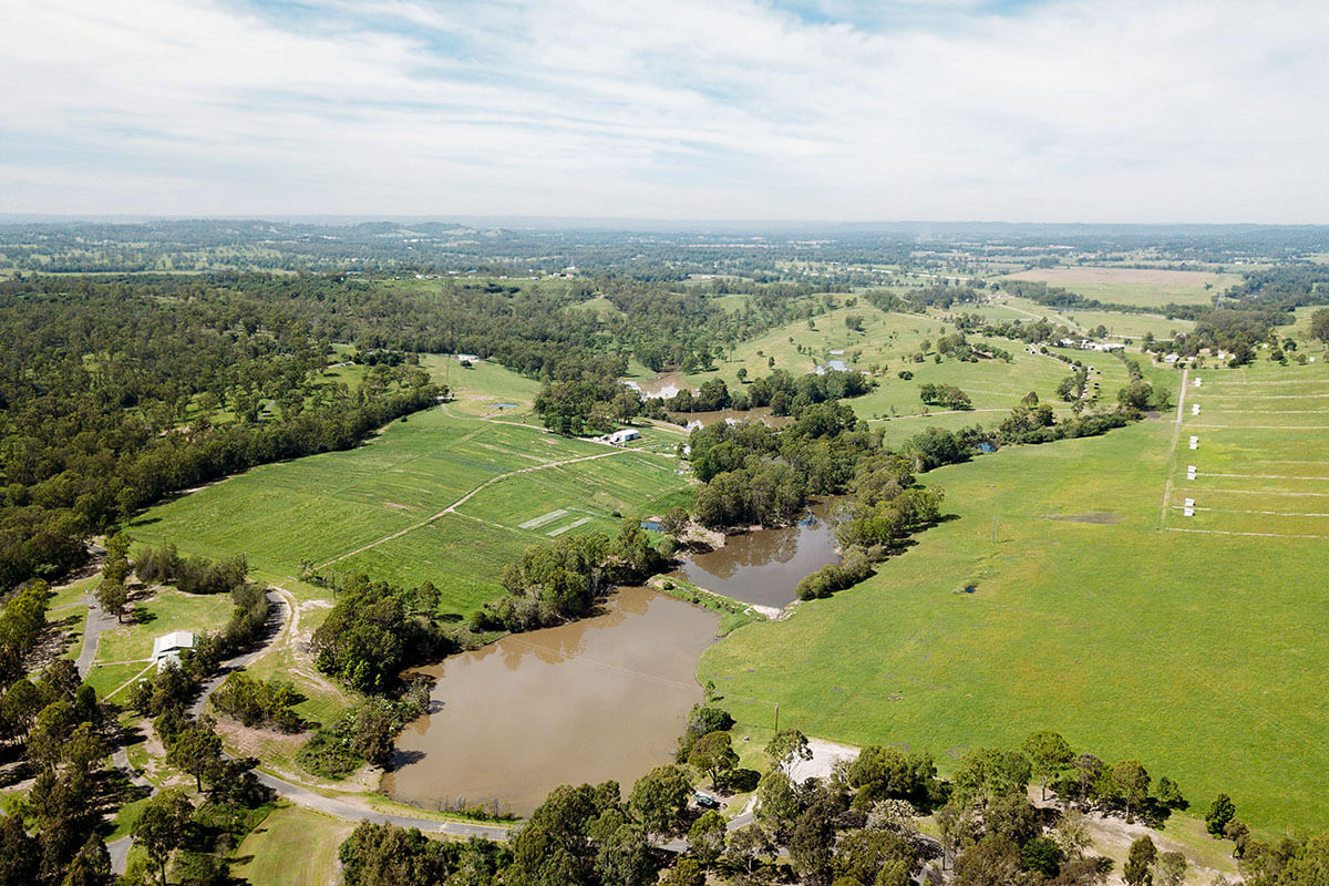
CPCP spatial map
The Department has developed a spatial map to help landholders and other stakeholders to view the final CPCP mapping. Through the spatial map, landholders can easily view the final CPCP mapping for their property by using the spatial map’s search function (to find property or lot number) and view relevant information at property scale.
Watch the tutorial video and read the spatial map glossary (PDF, 87 KB) to help you use the spatial map.
What the Cumberland Plain Conservation Plan means for your land
We have revised the CPCP's mapping to address feedback received from landholders and other stakeholders during public exhibition. We have also updated the mapping by increasing the width of koala corridors, so the CPCP is consistent with advice from the Office of the NSW Chief Scientist & Engineer.
For more information on land categories and how we have responded to landholder feedback read the What we heard report (PDF, 6.3 MB).
For planner enquiries:
- phone 02 9585 6060
- email [email protected] (between 9.30 am to 4.30 pm weekdays)
For translation, phone 13 14 50 and ask for an interpreter in your language to connect you to 02 9585 6060. Then ask for the Cumberland Plain Conservation Plan team.
Existing zoning maintained
The CPCP maintains existing zoning for avoided land. The CPCP will use planning controls on avoided land to provide flexibility around uses, while still protecting important biodiversity. To find out more about the planning controls for avoided land, visit planning controls.
Modification of the CPCP
A landowner affected by the CPCP can request the Minister for Planning and Public Spaces to prepare an application for a minor modification of the biodiversity certification mapping (avoided land and certified urban capable land) that applies to their land. This request by the landowner is called a modification request. The process for a modification request is set out in the State Environmental Planning Policy (Biodiversity and Conservation) 2021 (B&C SEPP).
The landowner makes an application for a modification request to the Minister for Planning and Public Spaces. If that request is approved, the Minister for Planning and Public Spaces then makes an application to the Minister for the Environment to modify the biodiversity certification.
Applications for the first round of modification requests made to the Minister for Planning and Public Spaces closed in June 2023.
Further opportunities for landowners to apply for a modification request will be open at a later date. You can register to receive notifications of future rounds by emailing us [email protected] or calling 02 9585 6060.
Frequently asked questions
Landowners wishing to be considered for inclusion as part of a modification application, by the Minister for Planning and Public Spaces to the Minister for the Environment, need to demonstrate how their proposal meets certain criteria and other relevant considerations.
The Department of Planning, Housing and Infrastructure has prepared a policy that outlines the relevant criteria and other relevant considerations that will be used to determine if an application is suitable for inclusion in a modification application to the Minister for the Environment.
The Minister for Planning and Public Spaces may decide to approve or refuse a modification request from a landowner based on how the request fulfils the criteria in the policy.
If accepted, the Minister for Planning and Public Spaces makes an application to the NSW Minister for the Environment to modify the biodiversity certification.
The Minister for the Environment is responsible for making the final determination on the modification.
Read the policy – considerations for determining modification requests (PDF, 228 KB).
There are fees associated with processing and assessing modification requests to the Minister for Planning and Public Spaces, though the application fee may be waived in some circumstances.
The Department has prepared a short policy outlining the fees and the circumstances in which fees may be waived or refunded as part of the modification process.
Read the policy – considerations for waiving or refunding fees for modification requests (PDF, 82 KB).
If the Minister for Planning and Public Spaces approves a modification request, the Department must prepare a revised biodiversity certification assessment report (BCAR) as part of the Minister for Planning and Public Spaces’ application to modify the biodiversity certification of the CPCP.
The Department will publicly exhibit the revised BCAR report before it is submitted by the Minister for Planning and Public Spaces to the Minister for Environment.
The Department is currently aiming to publicly exhibit the revised BCAR by late 2025.
Only parties to the CPCP may apply to the NSW Minister for the Environment for a modification. Landowners are not parties to the CPCP. The Minister for Planning and Public Spaces is a party, however, and can apply on behalf of landowners.