Riverstone East Stage 3
Located in the North-West Growth Area, Riverstone East has been released in 3 stages to coordinate the planning and delivery of development. Stages 1 and 2 were rezoned in 2016 and Stage 3 in 2025.
The Department exhibited the Riverstone East, Stage 3 draft Indicative Layout Plan (ILP) and discussion paper from 15 February 2024 to 14 March 2024 and finalised the rezoning in May 2025. Visit the NSW Planning Portal to view the exhibited documents and Finalisation Report.
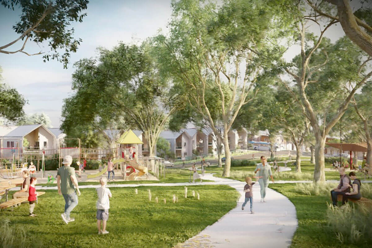
The ILP supports the long-term vision of the North-West Growth Area and guides the development of housing and other land uses in Stage 3 to meet the needs of a well-connected and diverse community, supported by local facilities and infrastructure.
The final ILP enables land rezoning within the boundary area and legislative amendments to the State Environmental Planning Policy (Precincts—Central River City) 2021 for the provision of:
- up to 3,600 new homes on flood-free land with 5% of properties allocated for affordable housing
- a mix of low, medium and higher density residential buildings
- open space and preservation of high-value vegetation
- connected transport links
- community facilities.
Stage 3 land is now rezoned according to the final plan and land uses, and Blacktown City Council will be the consent authority for most new development in Stage 3.
More information
For more information about Riverstone East Stage 3, phone 1300 420 596, email [email protected] or visit the NSW Planning Portal.