Establishing reserves and buying land
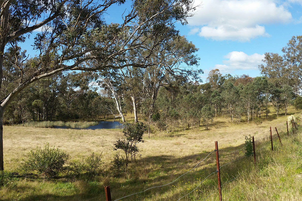
Under the Cumberland Plain Conservation Plan (CPCP), the Government will create new public reserves and private conservation land. This will help connect important areas of habitat and help restore degraded areas of land. The Office of Strategic Lands and the National Parks and Wildlife Service are both helping to deliver this program.
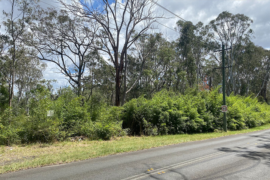
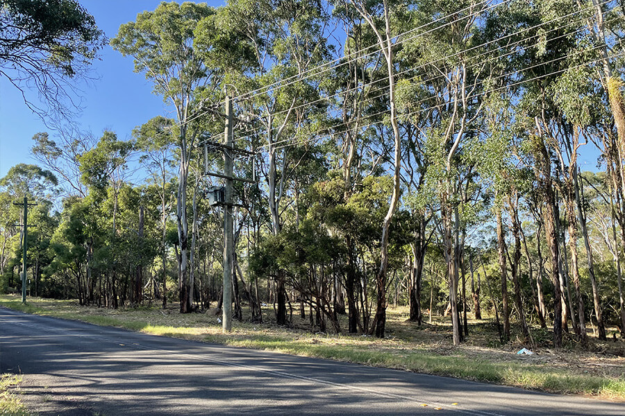
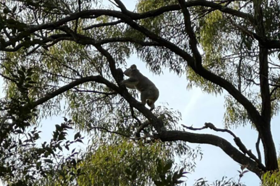
The Georges River Koala National Park protects a primary koala corridor along the Georges River between Appin and Long Point. In April 2022, 54 hectares of public land at Lysaght Road was transferred from the Office of Strategic Lands to the National Parks and Wildlife Service to create the new reserve.
In April 2024, another 916 hectares were transferred to the National Parks and Wildlife Service. This is a significant milestone towards our commitment to transfer all publicly owned land within the park between Long Point and Appin, to the National Parks and Wildlife Service by late 2026.
In collaboration with the Office of Strategic Lands and the National Parks and Wildlife Service, the Department has also started work on extending the Gulguer Nature Reserve. As of 30 June 2024, the Department has bought a total of 6 properties in this area, totalling 145 hectares.
Biodiversity stewardship program
Learn about the biodiversity stewardship programs under the CPCP.
Protecting biodiversity through stewardship agreements
We are working with the Biodiversity Conservation Trust to encourage landholders to create new biodiversity stewardship sites in the CPCP area. Landowners can enter a biodiversity stewardship agreement to permanently protect and manage an agreed land area for conservation in return for financial and other benefits.
As more than 75% of the remaining native trees and plants in the Cumberland sub-region are on private land, stewardship agreements are an important way of supporting western Sydney’s biodiversity over the long term.
The Biodiversity Conservation Trust is working with interested landholders in the CPCP area to help them create new biodiversity stewardship sites. We are funding the Biodiversity Conservation Trust to conduct feasibility assessments and develop business cases for interested landholders.
Read more about the CPCP biodiversity stewardship program:
For more information about biodiversity stewardship agreements:
- go to Biodiversity Conservation Trust
- phone 1300 992 688
Protecting biodiversity through credits
The Department is buying biodiversity credits when they become available on the market to contribute towards its conservation targets. The department buys these credits through tenders and auctions that the Biodiversity Conservation Trust and the Credit Supply Taskforce hold.
Since 2021, the Department has bought and retired 1,082 Cumberland Plain Woodland credits worth about $42 million. These contribute to protecting 111 hectares of this critically endangered woodland.
For more information on biodiversity credits, go to NSW Biodiversity Conservation Trust.
Ecological restoration
Ecological restoration is important in improving native trees, plants and habitat within the CPCP strategic conservation area.
Restoration
- improving the condition of existing vegetation
- creating or improving connectivity between important remaining native trees and plants
- reconstructing over-cleared vegetation communities, such as the critically endangered ecological community, Cumberland Plain Woodland.
We select ecological restoration sites from the strategic conservation area because they support biodiversity features of regional significance. Focusing restoration activities in these areas has the greatest potential to deliver long-term outcomes for the Cumberland Plain.
Key achievements
Read the key achievements as of June 30 2024:
- Planted 20,000 trees and shrubs at 880A -900A Appin Road over 4 hectares to restore koala habitat.
- Completed 2.5 hectares of assisted regeneration at Long Point and 880A- 990A Appin Road.
- Prepared ecological restoration plans for project sites at 180 and 680 Appin Road.
- The Australian Royal Botanic Gardens PlantBank sourced 121 collections of provenance seed for use in CPCP restoration projects.
- We purchased 320 kilograms of native seed for direct seeding restoration works.
- Established an ecological restoration working group and prepared a restoration implementation strategy.
- Delivered the Cumberland Plain Woodland Knowledge Infrastructure Project with the Australian Botanic Garden Mount Annan. The project guided the selection of seed sources to maximise genetic diversity and adaptive potential for Cumberland Plain ecological communities in future climates. We’ll apply the guidelines to our future collections and ecological reconstruction projects.
For enquiries:
- phone 02 9585 6060
- email [email protected]
- for translation, phone 13 14 50 and ask for an interpreter in your language to connect you to 02 9585 6060. Then ask for the Cumberland Plain Conservation Plan team.


