Sustainable planning
The regional plan uses a new approach to how we sequence planning for new land uses and infrastructure. This approach means proposals that support the vision for the region and bring even greater public value will be subject to a streamlined assessment process.
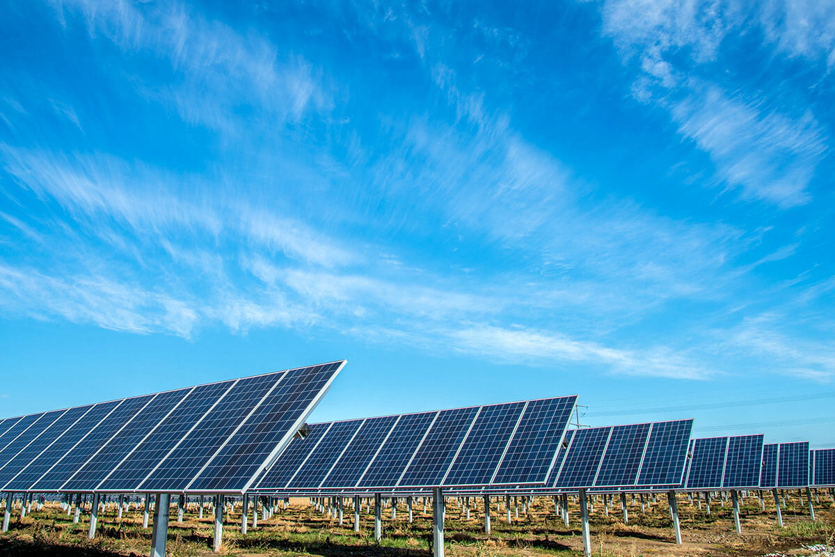
The regional plan also introduces net zero emissions as a guiding principle for all planning decisions.
Further, the regional plan embeds resilience in planning and design decisions to improve responses to chronic stresses and acute shocks.
Building climate resilience
In offering connections to lovely waterways and bushland, the Hunter is also a place where people and buildings could be at risk of climate-related impacts such as sea level rise or bush fires.
Climate change has been felt directly during the widespread bushfires of 2019–20, flooding of 2021–22 and increased coastal erosion.
These changes in climate are likely to increase the risk of coastal processes, storms and floods, bushfires, heatwaves and drought.
These natural hazards can disrupt road and rail networks. They can interrupt access to essential services including water, sewerage, power, telecommunications and digital connectivity.
The Hunter and Central Coast Regional Adaptation project identifies how climate change may affect local communities and identifies responses. Councils are already building this work into strategic planning and other processes.
Read objective 7 (PDF, 48.4 MB) of the regional plan to learn more.
Other objectives in this regional plan ensure the Hunter achieves:
- economic resilience, objective 1 (PDF, 48.4 MB) and objective 8 (PDF, 48.4 MB)
- social resilience, objective 3 (PDF, 48.4 MB) and objective 5 (PDF, 48.4 MB)
- environmental resilience, objective 6 (PDF, 48.4 MB) and objective 9 (PDF, 48.4 MB).
Specific hazards
The most recent sea level rise projections are from the Intergovernmental Panel on Climate Change (IPCC) predict an increase on the central NSW coast of:
- between 0.21m and 1.06m by 2100
- between 0.28m and 1.95m by 2150.
Sea level rise and inundation risks is highest around tidal lakes and close to larger and more heavily populated coastal river systems. This includes areas adjoining the Hunter River, and around coastal lagoons including the Blake Head Lagoon.
Much of this development is only marginally above current high tide levels and is highly vulnerable to sea level rise.
The Hunter is already subject to coastal hazards such as coastal erosion, shoreline recession and cliff or slope instability risks.
Areas at Old Bar Beach, Winda Woppa – Jimmys Beach and Stockton Beach are at high immediate risk from coastal hazards.
Land use planning informed by coastal management programs will consider coastal hazards to avoid or acceptably mitigate risks for future development.
Regional areas of the Hunter are particularly vulnerable to flooding. The regional plan aims to ensure development poses no increased risk to residents nor exacerbates flood impacts.
The Hunter is at high risk of bushfire. Increases in fuel load, fuel dryness, fire weather and lightning strikes are likely to result in more frequent bushfires.
Given the potential for drought in the Hunter, the Greater Hunter Regional Water Strategy aims to manage water needs over the next 30 years.