The NSW Coastal Lands Protection Scheme brings important coastal lands into public ownership and protects them for public use and benefit.
Explore our new map, which showcases the lands we've acquired and their protection status – many as national parks and public reserves.
The map will help you to understand the public purpose the land is now used for and how it's protected.
Land acquired under the scheme
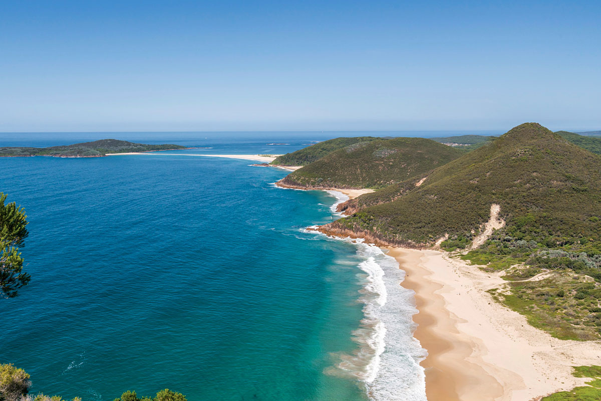
Over the past 50 years the scheme has purchased and protected 87% of coastal lands originally identified as 'Red Lands' on a NSW Government map. The scheme has since acquired additional land which have met its acquisition criteria. Coastal land has also been protected through appropriate local land zoning.
In total, more than 15,000 hectares of coastal land has been acquired since 1973, making a considerable contribution towards protecting the special qualities of the NSW coast, and the scenic, recreational and environmental values that it holds for local communities and tourists alike. Land purchased is generally transferred to the local council, the National Parks and Wildlife Service or another agency for ongoing management in the public interest. Most land is now within the national parks estate or a public reserve.
Acquisitions under the scheme must meet at least one of three criteria:
- Public access – to promote public access to the coastal foreshore.
- Scenic quality – to maintain the scenic quality of the NSW coast.
- Ecological values – to protect ecological sites of regional, state and/or national significance.
Using the map
The acquired lands have been broadly categorised according to their current public purpose and the characteristics of the land.
Click on a pin to see more information about that land.
Danger Point
Blueys Head
Old Bar Beach